cold harbour lane
cold harbour lane
Former track to Coldharbour Farm
Until the 1840's there was a small farm called Coldharbour in an isolated position set within fields to the south of Lower Middle Street. It is shown on E Watt's map of 1806 (shown below) and Bidder's map of 1843 albeit not named on either. Although Watt's second map of 1806 notes the name of Mrs Marshall appended to Coldharbour Farm, the farm seems not to be listed on either the 1841 census or that of 1851.
In any event the farm was demolished with the arrival of the railway and part of the Town Station was built on the site, today the site is occupied by Pizza Hut in the Yeo Leisure Park complex.
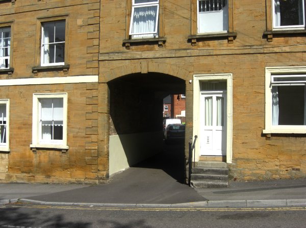
However the ghost of the track leading to the farm from Middle Street, known as Cold Harbour Lane, still exists as the narrow service road running from Lower Middle Street, accessed between the Viceroy and Viceroy II restaurants, and exiting into South Western Terrace via the porte-cochere of the old Alexandra Hotel.
map
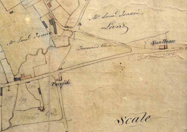
E Watts' map of Yeovil of 1806 shows Coldharbour Farm (albeit not named or with its track, Cold Harbour Lane, shown) in the lower left corner.
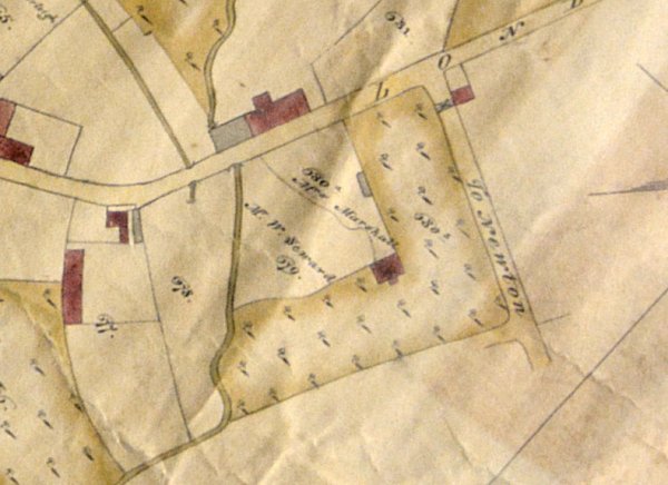
E Watts' second map of 1806 showing the name of Mrs Marshall appended to Coldharbour Farm and showing that the field to east and south of the farm was an orchard.
GALLERY
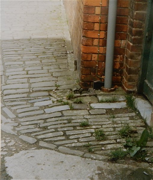
Stone setts in the former Coldharbour Lane, photographed in the 1990s. These were part of the original farm buildings.
From my
collection. This
photograph
features in my
book "Lost Yeovil"
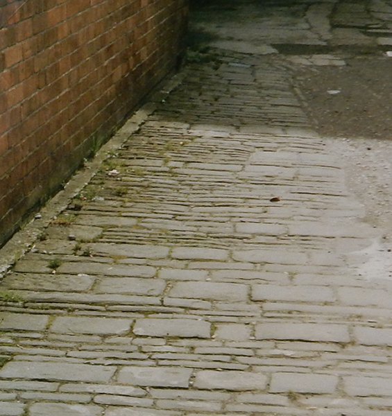
.... and looking the other way, again photographed in the 1990s.
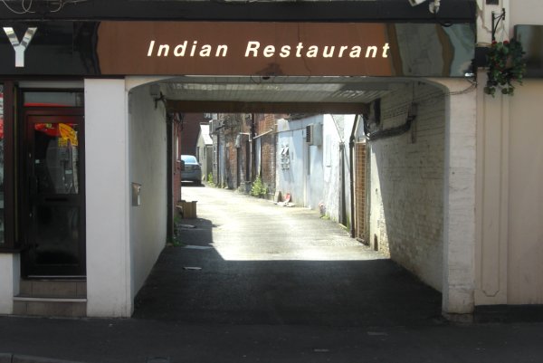
The northern, Middle Street, entrance to Cold Harbour Lane. Photographed 2013.
This photograph
features in my
book 'Secret Yeovil'.
The southern, South Western Terrace, entrance to Cold Harbour Lane. Photographed in 2013 from about the site of Coldharbour Farm.