alexandra road
alexandra road
Off Lyde Road
 At
the time of the
1901 Ordnance
Survey Alexandra
Road had been
planned and laid
out (the
northern
two-thirds in a
field named
Little Hather
Mead, the
southern third
in a field
called Penny's
Orchard) but,
apart from a
pre-existing
building,
probably a farm
building down a
track, had no
buildings at all
at this time.
At
the time of the
1901 Ordnance
Survey Alexandra
Road had been
planned and laid
out (the
northern
two-thirds in a
field named
Little Hather
Mead, the
southern third
in a field
called Penny's
Orchard) but,
apart from a
pre-existing
building,
probably a farm
building down a
track, had no
buildings at all
at this time.
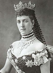
The new road was named, in a flurry of patriotism, after the popular Princess Alexandra of Denmark (1844-1925), photographed at left, the consort of King Edward VII. She was Queen Consort and Empress of India from 1901 to 1910.
The first houses to be built in the new road, photographed below, were constructed around 1910.
MAP
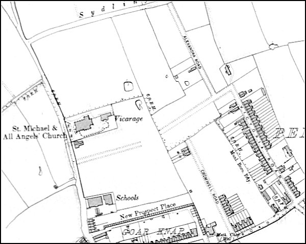
The 1901 Ordnance Survey showing Alexandra Road top right of centre. Sydling's Lane to the north would eventually become Rosebery Avenue while the new road being laid out to the south would become St Michaels Road.
gallery
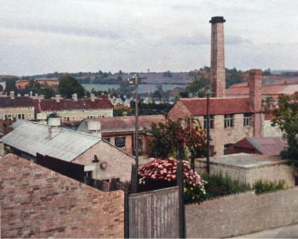
A colourised photograph of around 1965, showing the degreasing works at the northern end of Alexandra Road.
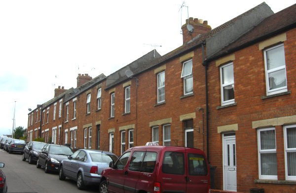
The terrace photographed here is located close to the southeast junction with Lyde Road. These were the first houses to be built in the road, around 1910. Photographed 2013.