the avenue
the avenue
Designed by an architect priest
In 1896 Captain Prowse, Lord of Kingston Manor, sold some seven acres of land north of Higher Kingston to the Reverend (later Canon) AJC Scoles, an architect and the parish priest, The purchase was to provide land to build a new Roman Catholic church, a presbytery and a school as reported in the press at the time ".... The main road through the estate will be an Avenue 40 feet wide and houses will be erected on either side. The erection of a Convent is also contemplated and this will probably be built on the site of the residence known as Whitefriars."
Whitefriars had previously been known as Devonshire Cottage - the home of glove manufacturer, later Mayor of Yeovil, John Hill - and the Avenue was built along a track known as Pound Close.
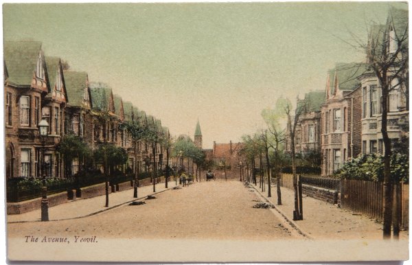
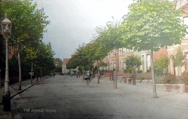
The Church of the Holy Ghost was built between 1894 and 1899 and The Avenue, originally called Scoles Avenue, was constructed alongside at the same time. The postcard illustrated below, dating to 1905, shows The Avenue newly completed and planted with its avenue of trees looking down towards Reckleford with the church in the distance.
MAP
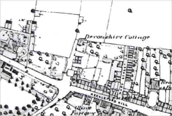
A portion of the 1889 Ordnance Survey map showing Devonshire Cottage at centre. The lane it stood in, Pound Close, would be developed as The Avenue and the cottage itself would later be known as Whitefriars.
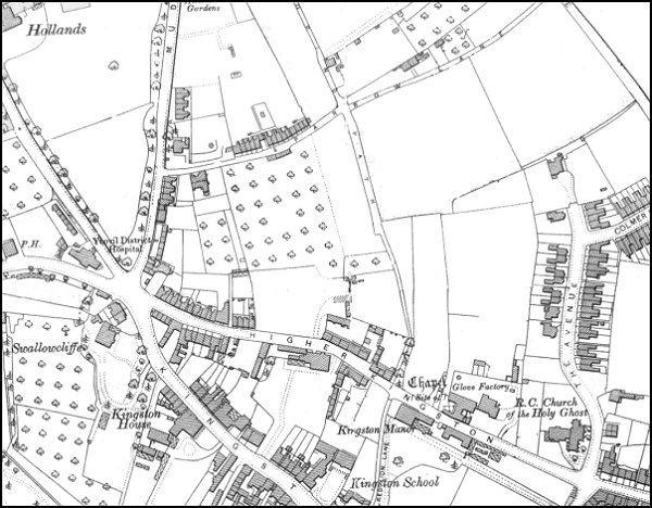
The 1901 Ordnance Survey showing The Avenue at right.
gallery
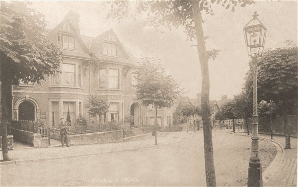
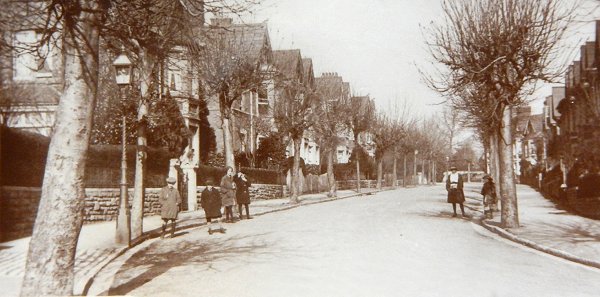
A postcard of The Avenue dating to around 1903. Note the lovely gas lamp at right - they didn't have those when I lived in The Avenue in the early 1980's.
From my
collection
-
This
postcard
features in my
book 'Yeovil From Old Photographs'.
A somewhat grainy postcard, dated 1905, of the newly-built Avenue. Note the newly-planted avenue of trees!
This
colourised
postcard
features in my
book 'Yeovil
- The Postcard
Collection'.
A postcard of the Avenue dating to around 1910.
From my
collection
The Avenue photographed in the 1920s, taken from a postcard.
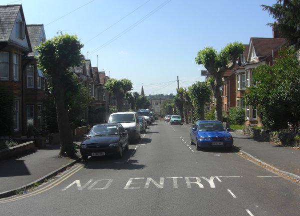
Pretty much the same view in 2013, just a few more cars and overhead cables.
Courtesy of South Somerset Heritage Collection
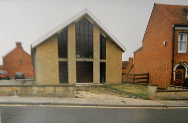
The Gospel Hall at the northern end of The Avenue. Photographed in September 1997.
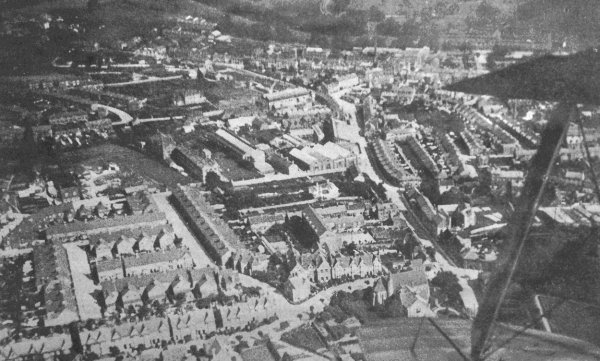
A 1919 aerial photograph taken from a biplane - its wing-tips and strut are seen at right. At the end of the lower wing-tip is the Church of the Holy Ghost and running across the bottom of the photograph is The Avenue. Running from the lower wing-tip towards the top of the photograph is Reckleford with the Nautilus Works at centre and Salisbury Terrace opposite.