cecil street
cecil street
Built for glove-trade workers
Cecil Street was built by William Tucker in the 1890s on orchard land lying between Reckleford and Vicarage Street as shown on the maps below. Cecil Street, with houses only on its south side, ran parallel to Reckleford but lay behind Salisbury Terrace. Both Cecil Street and Salisbury Terrace were named after the Prime Minister of the time, Lord Salisbury, whose family name was Cecil.
William Tucker was a glover who ran the Glovers Arms from at least 1871 until his death at the turn of the century. However he was an entrepreneur with wide interests and he expanded into glove manufacturing, having invested in the business of F Blake & Co just a few doors along in Reckleford.
When William began investing in town development and providing housing for glove workers, he named two of the roads he built after members of his family; Earle Street after his son and Vincent Street, as well as Vincent Place, after his wife's maiden name. The rest of the development were Cecil Street and Salisbury Terrace in Reckleford.
Other developments William initiated, which were continued and expanded after his death in 1899 by his son, William Earle Tucker, included Victoria Road, St Michael's Road, and Lyde Road.
Escaping the wholesale demolition suffered by Salisbury Terrace for the widening of Reckleford in the 1960s, and by Vincent Street and most of Earle Street in the 1970s and 1980s for the development of the bus station and the Quedam project, Cecil Street survives to this day.
MAPs
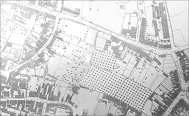
Map based on the 1886 Ordnance Survey showing the undeveloped area between Reckleford, seen running across the top of the map, and Vicarage Street in the lower left corner.
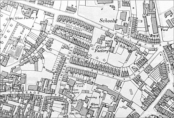
Map based on the 1901 Ordnance Survey showing the same area developed with Earle Street, Vincent Street, Vincent Place and Cecil Street.
gallery
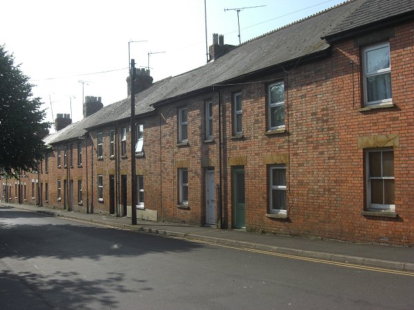
Cecil Street, photographed in 2013. Originally facing the backs of Salisbury Terrace, they now face onto Reckleford.