Building the quedam
Building the Quedam
A photographic record by Peter Wiltshire
Building the £21 million (or £14 million - depending on your source) Quedam Shopping Precinct during the early 1980s was the largest construction project ever to be undertaken in Yeovil. Indeed, it is claimed that it was the second largest development of its kind in the country at that time.
The joint developers, Standard Life Assurance and Yeovil-based Bartlett Developments, together with Woolf Project Management, opted for the open-air arcade design, providing a fully pedestrianised traffic-free shopping mall, with adjacent parking for 900 vehicles.
The architecture was an attempt to bring a 'village' feel to the town centre's shopping experience, in contrast to the quasi-Brutalist style of the much-debated Glovers' Walk project of the 1960s, The Quedam swept away Vicarage Street almost completely as well as most of Earle Street, Vincent Street and Vincent Place. The view from Silver Street, Market Street and the Triangle was forever changed.
While most of us went about our lives with, perhaps, a grumble about the inconvenience of a giant building site in the town centre or bemoaning the loss of the above-mentioned streets, at least one person had the foresight to put his camera to good use during the construction of the new shopping centre. I am most grateful to Peter Wiltshire for permission to reproduce his fantastic photographic record - all 51 images - on this page.
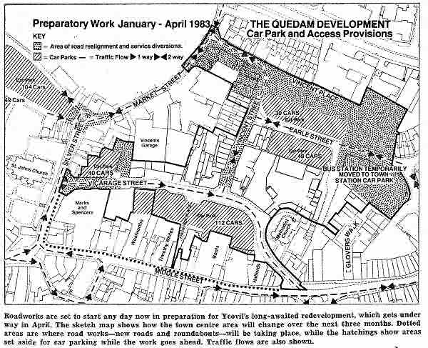
MAP
Courtesy of Rob
Baker
A map published in the 21 January 1983 edition of the Western Gazette showing the size and scope of the new Quedam shopping precinct development that heralded the demise of Vicarage Street.
gallery
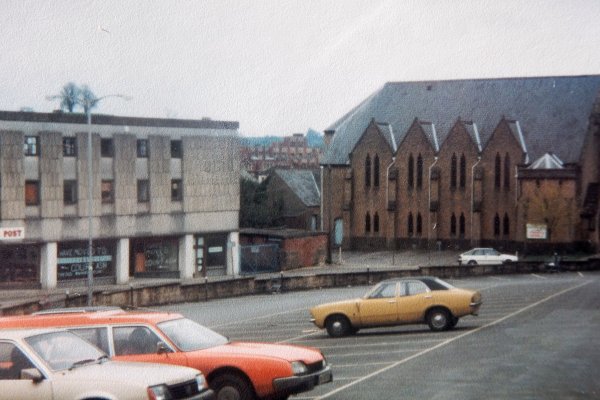
This used to be Vicarage Street (I think).
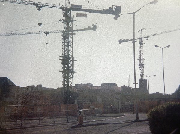
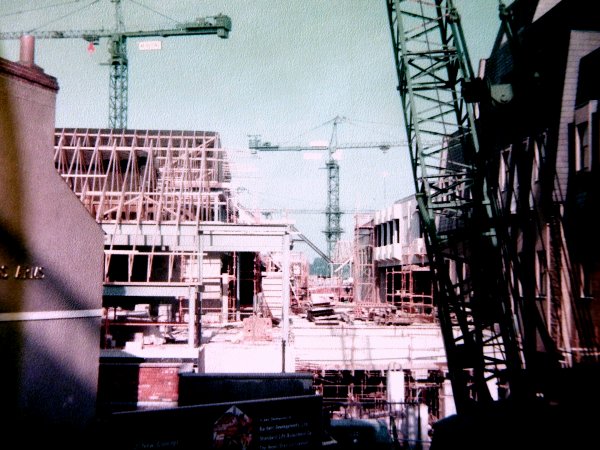
I must have spent hours watching the cranes swing around.
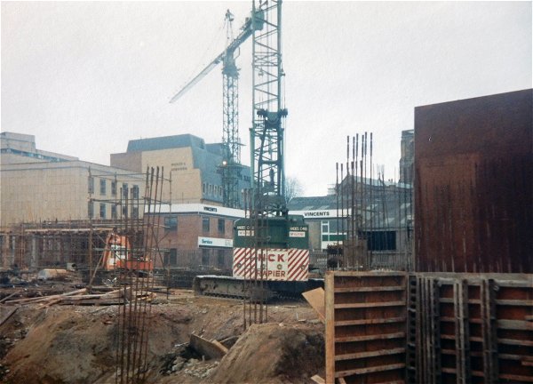
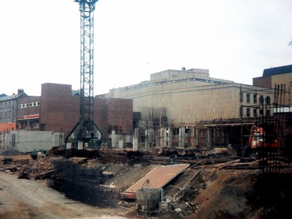
The frame of the multi-storey car park takes shape.
.... and starts to get massed concrete.
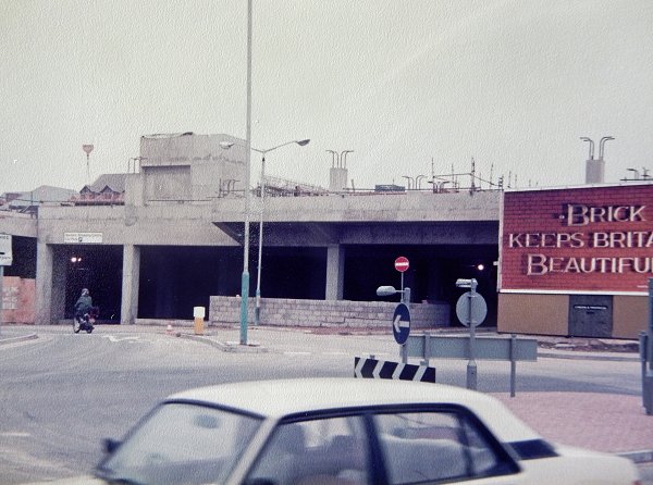
Recognise it yet?
Another level is added and the steel frame of the building next to the bus station takes shape.
.... and gets some cladding.
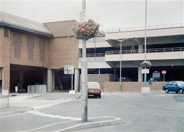
Oh - I recognise it now!
Vincent Street prepares to disappear. Seen from the Triangle.
Vicarage Street becomes a giant steel-frame structure.
.... that gets bigger.
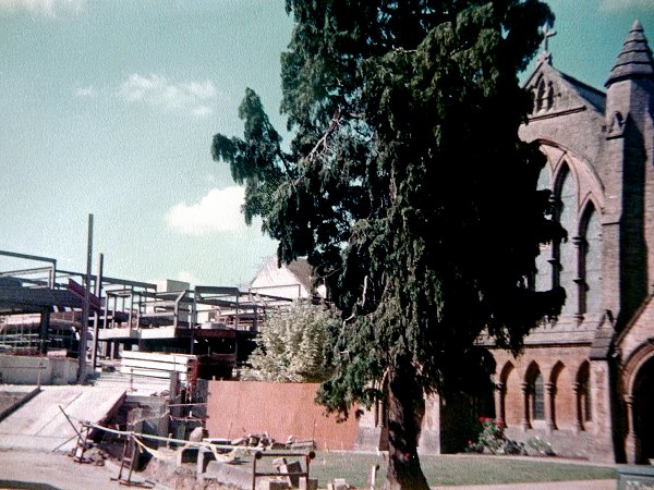
At least the Vicarage Street Methodist church survived - it was the only survivor!
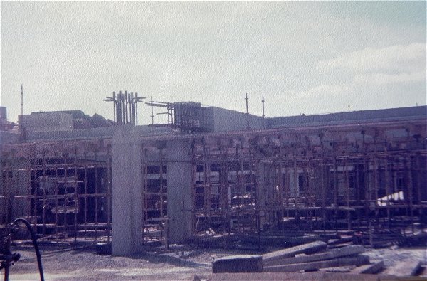
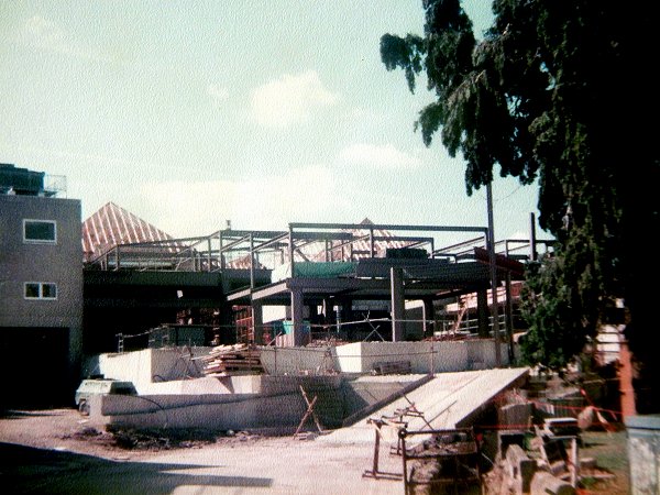
The giant steel structures take on the shapes of buildings.
.... and get bigger still.
I didn't want to drive down Vicarage Street anyway!
The buildings slowly become more recogniseable.
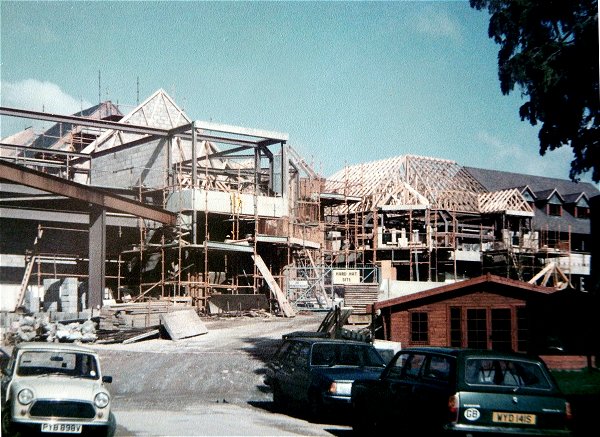
.... and still they grow.
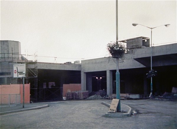
Now moving to the other end of Vicarage Street - seen from St John's churchyard.
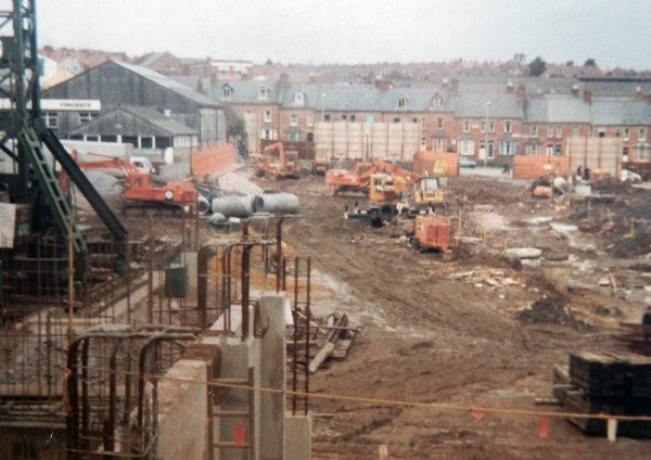
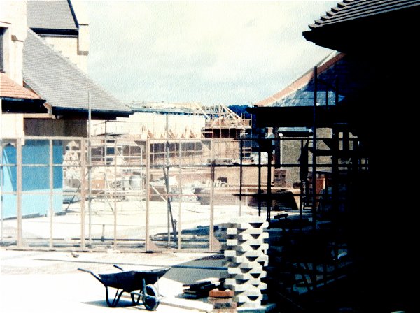
Vicarage Street becomes a building site.
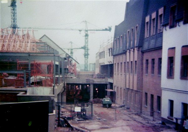
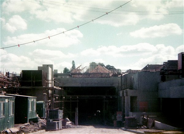
As the new walkway of the Quedam takes place, now we know why the buildings at right appeared to lose a floor.
The new 'street level' advances.
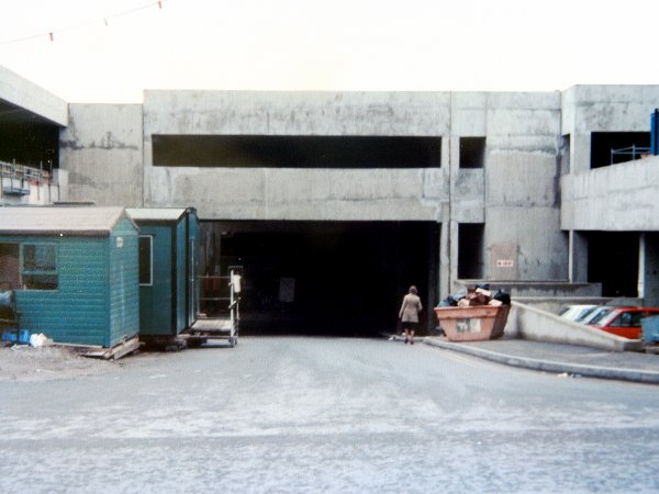
.... and there was Vicarage Street - gone!
So what's all this concrete in the foreground?
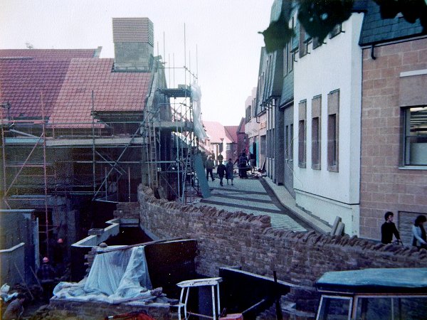
And there's me thinking it was a natural stone wall.
.... but it looks a lot better than concrete.
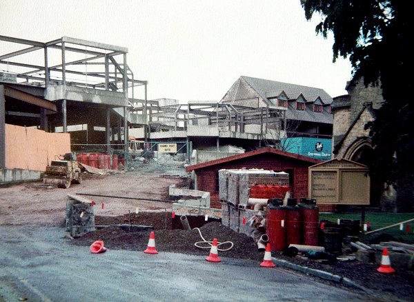
So, secret steps down to Vicarage Street at centre bottom - but how do you get your car out?
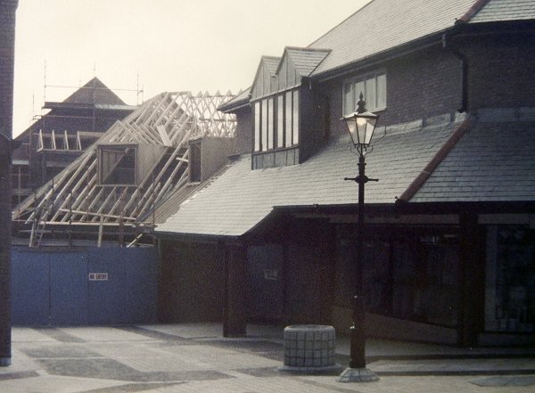
The Albion, scaffolded prior to demolition. Shame, I spent a few hours in there back in the day.
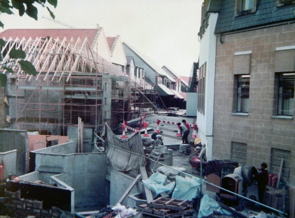
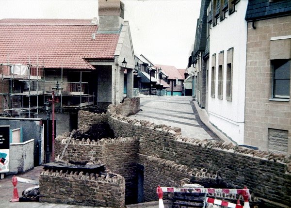
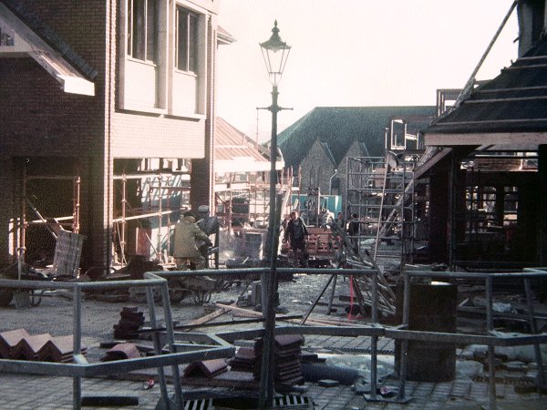
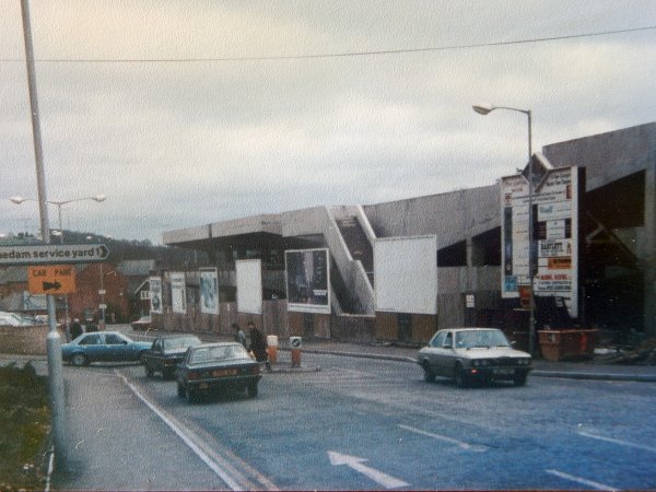
The shops are starting to become occupied.
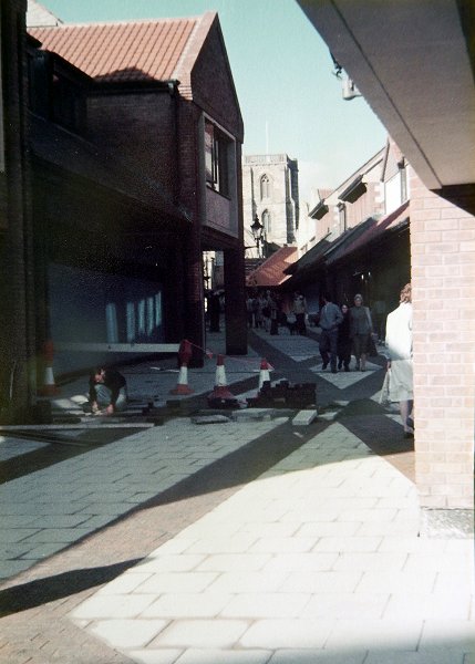
.... and the general populace are allowed to wander through.
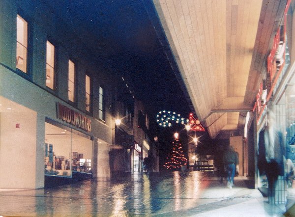
The back of Woolies at Christmas.
The Albion and the old Army & Navy Stores flank Vincent Street. All to soon disappear.
Neal & Williams at left, the Methodist church at right and the entrance to the Council's Town Yard at centre. Seen from the Vicarage Street car park.
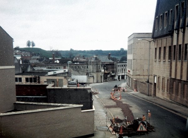
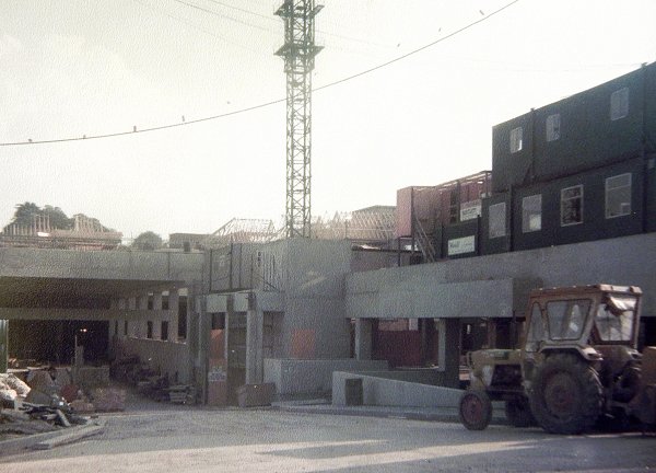
Didn't Vicarage Street and Vincent Street used to be there?
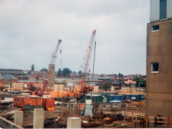
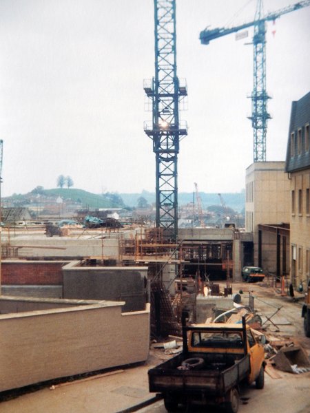
I was more impressed with the three tower cranes shown earlier.
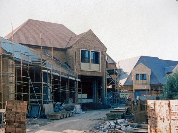
I don't remember Frederick Place looking like a giant climbing frame.
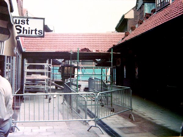
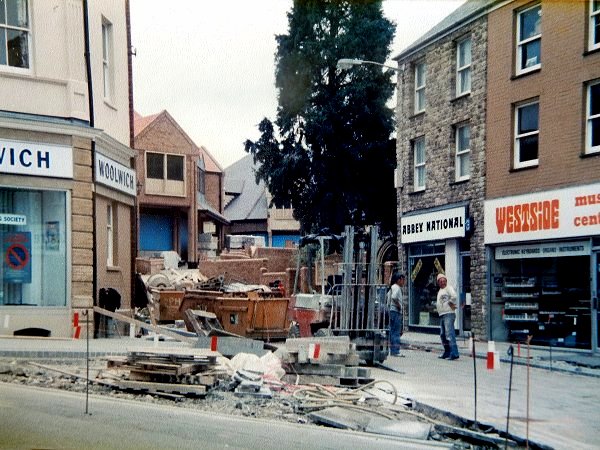
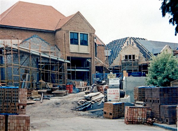
Now I recognise it - and I remember Just Shirts.
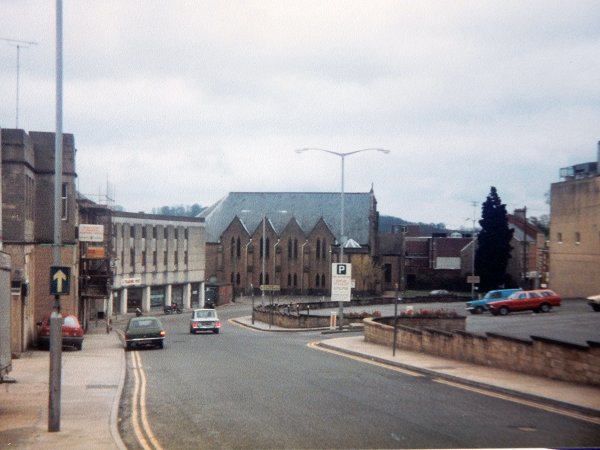
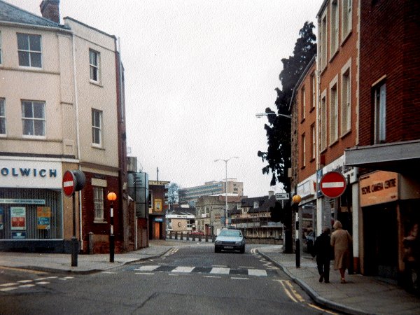
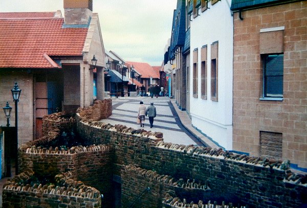
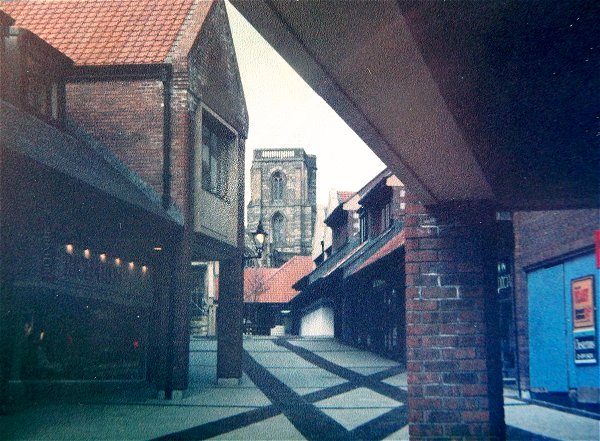
This is how I remember Vicarage Street.
So, which do you prefer?
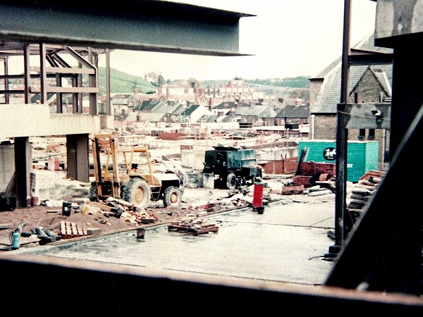
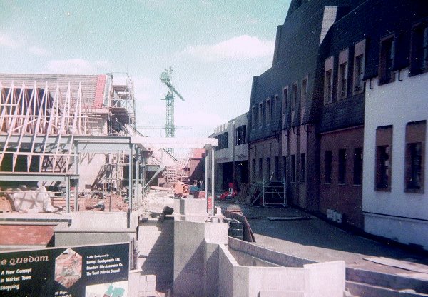
One of the last glimpses of green countryside from the Quedam.
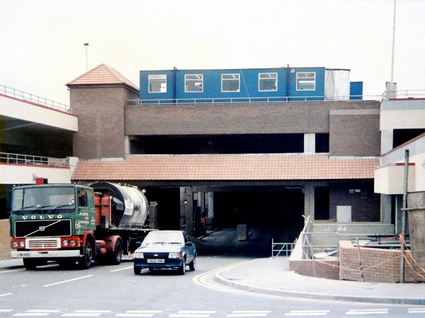
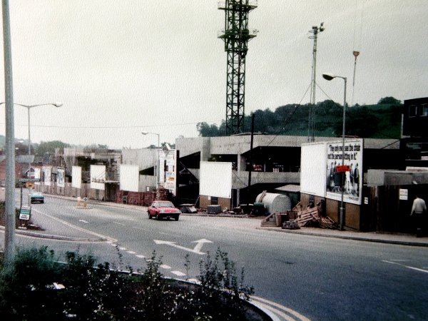
Access temporarily closed while BHS is built.
.... and access to the Triangle is temporarily blocked alongside Laura Ashley's.
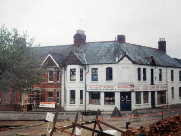
Moving on. The white building was on the corner of Earle Street (running off to the left) and Market Street (running off to the right).
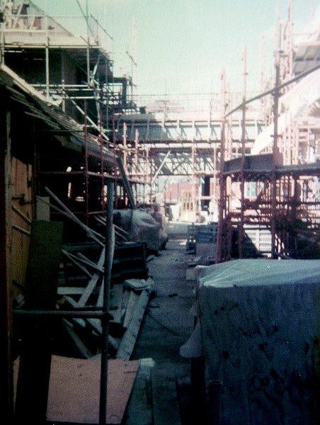
I don't remember ever walking around this part as it was being built. Well done for exploring Peter.
This bit (and the next three photos) are where the southern part of Vincent Street used to be. You'll recognise it in a minute.
The mass of concrete takes shape.
.... and starts to look like part of the Atlantic Wall.
Doesn't a bit of brick cladding make all the difference?
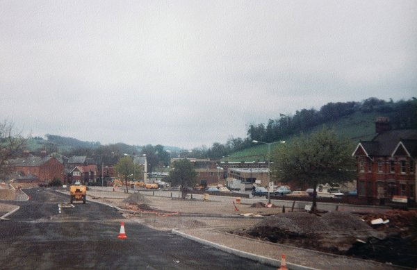
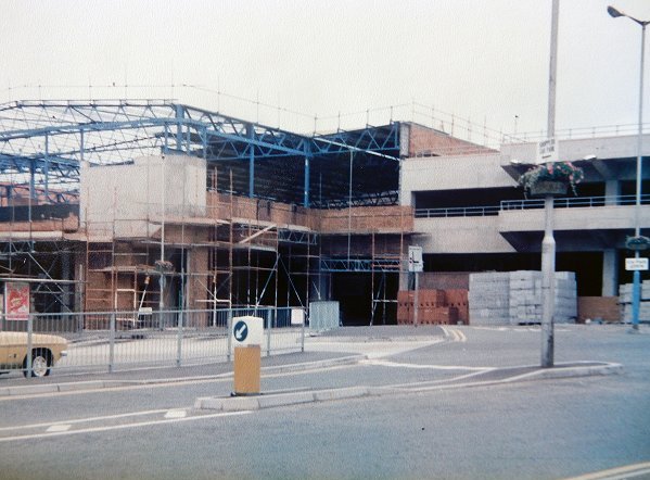
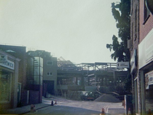
This is the start of the current road layout. The buildings at extreme right were in Earle Street and are seen in the photo six photos up. What remains of Vincent Street today is off-shot at left. The bus station is seen at centre right and the muddy bit covering the mid- and fore-ground is to become the multi-storey car park.
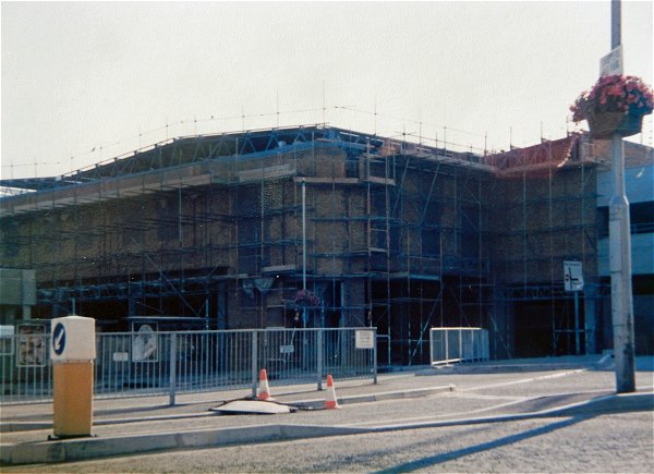
This is the current road, with access to the remains of Vincent Street at left. Meanwhile the new multi-storey car park takes shape.
Recognise it yet?
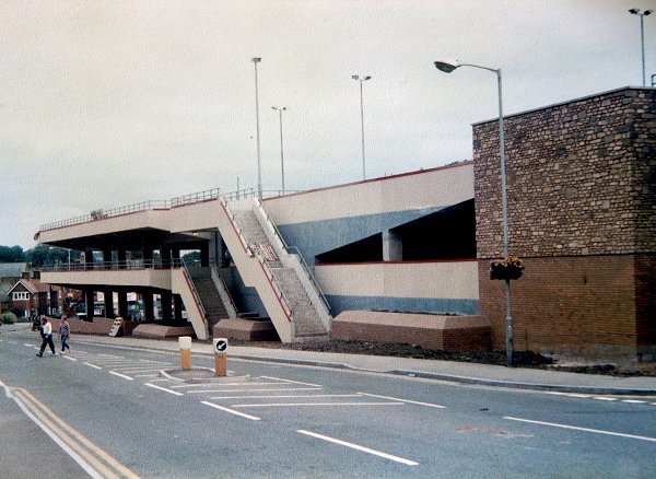
More recogniseable without the hoardings.
Well done Peter, and many thanks again for sharing your wonderful photographic archive.
and finally . . . .
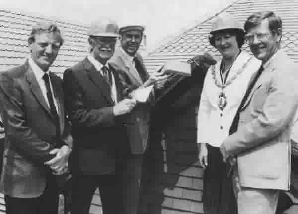
The traditional "topping out" ceremony.
Left to right - Stan Reay, Southern Electric's Construction Engineer, Sydney Harding, Chairman of Yeovil District Council, Richard Timmis, Bartlett Developments, Mrs Joy Stanton, Mayor of Yeovil and David Ashford, Chief Executive, Yeovil District Council.