Red mead
Red MEAD
A field of Key Farm
Red Mead (Parcel 768) is a large roughly rectangular field to the north of Pavyott's Lane. Today this parcel lies in East Coker parish.
The 1846 Tithe Apportionment described Red Mead as arable and measuring 9a 1r 10p and noted that William Jones Prowse of Kingston Manor, was the owner and William Anstice of Key Farm was the occupier.
Red Mead was
bounded on the
north by
Farm
Close
(Parcel 764) and
Old
Orchard
(Parcel 765),
on the west by a
field access
track, on the
south by
Pavyott's Lane and on the
east by
Garden Ground
(Parcel 762) and
the
Red House.
Today in the parish of East Coker, Red Mead has been combined with Farm Close to form a single larger field but has lost a strip of its eastern side for a new house and garden.
For details on historic land measurement (ie acres, roods and perches) click here.
MAPs & Aerial Photographs
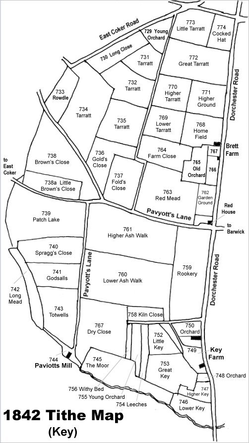
MMap based on the 1842 Tithe Map with field names added from the 1846 Tithe Award. Red Mead is at centre right, immediately north of Pavyott's Lane.
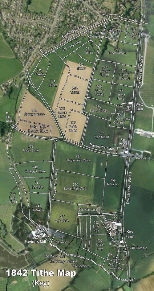
The 1842 Tithe Map superimposed over a modern aerial photograph of the area. Although the field boundaries do not align precisely, remember that the 1846 survey was undertaken by hand using primitive surveying equipment./p>
&
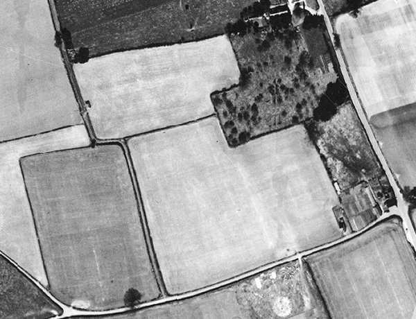
The 1946 aerial photograph with Dorchester Road at right and Pavyott's Lane running across the bottom. Red Mead is the large field immediately to the north of the latter.
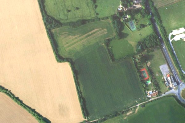
The modern satellite image showing the combined Farm Close and Red Mead, with the eastern end of the latter built on by a new house and its garden.
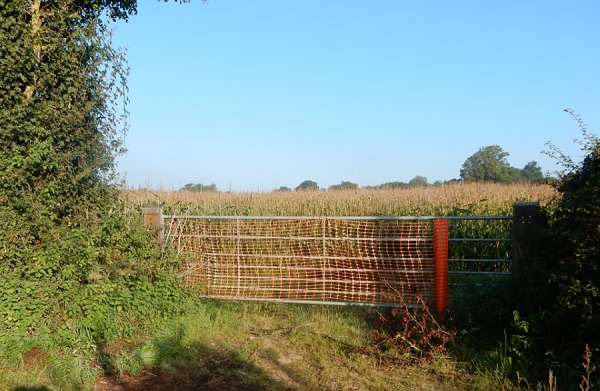
Red Mead, photographed from Pavyott's Lane in 2015.