Harding's Mead
Harding's Mead
A former part of the great West Field of Kingston Manor
Harding's Mead (Parcel 1437) was a rectangular field on the southern side and halfway along the field access track known as Lower Larkhill Lane (today the eastern end of Stiby Road).
The 1846 Tithe Apportionment noted Harding's Mead measured 3a 3r 30p and was used as meadow. The Apportionment noted that the owner was William Jones Prowse and the tenant was Samuel Dodd.
Harding's Mead was bounded on the north by Lower Larkhill Lane, on the west by Parcroft Orchard (Parcel 1438) and to the south and to the east by Long Ground (Parcel 1436).
Today the former Harding's Mead is occupied by the houses and gardens of Stiby Road and the two spurs at the north east of Westfield Grove.
For details on historic land measurement (ie acres, roods and perches) click here.
maps & Aerial Photographs
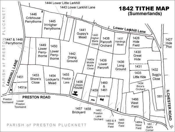
The Larkhill area reproduced from the 1842 Tithe Map. Harding's Mead is in the top right quadrant.
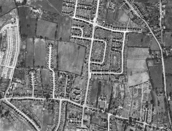
The 1946 aerial photograph - the two spurs at the north east of Westfield Grove were built on the former Harding's Mead, in the top right quadrant of this photograph.
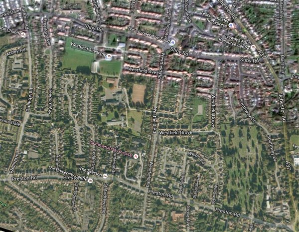
The same area today 'borrowed' from Google maps.
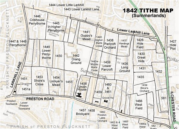
The 1842 Tithe Map superimposed (only very slightly out at the bottom) over a modern map.