Sydling's Mead
Sydling's Mead
A field within the great manorial East Field
'Sydling' may have been a personal name of a former owner, or the name may derive from the Old English 'sid', meaning broad, and 'hlinc' being a bank separating strips of arable land in medieval times.
The 1589 Terrier referred to Sydling's Mead, also known as Sellings, in the great East Field "In Edmund Wills Close next to Selling's Lane".
At the time of the 1846 Tithe Apportionment Sydling's Mead (Parcel 958) was owned by Thomas Binford and let to Thomas Holt. Sydling's Mead was used as meadow for growing hay. It measured 4a 1r 0p.
Sydling's Mead was bounded on the south by Sydling's Lane (today's Rosebery Avenue), on the west by Twelve Acres (Parcel 957), on the north by Lower Hathermead (Parcel 955) and on the east it was bounded by the northern spur of Sydling's Lane (today, the southern half of Monmouth Road).
Today the former Sydling's Mead is occupied by a few houses and gardens of Rosebery Avenue and Monmouth Road, the eastern cul-de-sac of Mayfield Road and the whole of Derwent Gardens.
For details on historic land measurement (ie acres, roods and perches) click here.
maps

This map, based on the descriptions in the 1589 Terrier and the 1846 Tithe Map of Yeovil shows the approximate boundaries of the Manors of Kingston and Hendford as well as the manorial three-field system used in Kingston.

A map of the great medieval East Field of Kingston Manor showing conjectured locations of several fields based on descriptions in the 1589 Terrier.
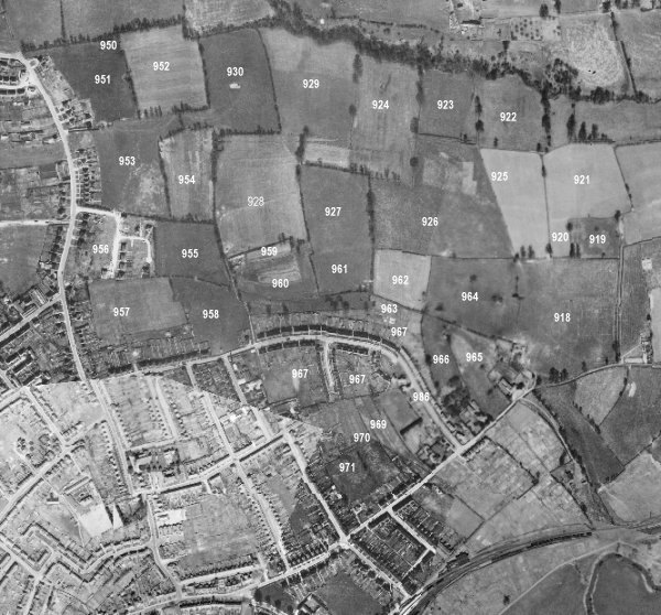
Drawn from the 1846 Tithe Map with field names added from the 1846 Tithe Apportionment, with Sydling's Mead towards centre left.
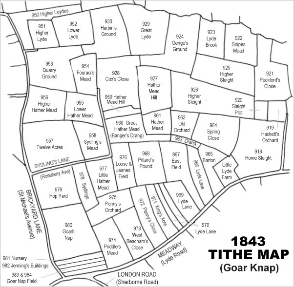
The 1946 aerial survey photograph (somewhat mis-aligned at bottom left) with parcel numbers of 1846 plotted on. By this time, Sydling's Mead (marked with '958' on this photograph) remains as an open field. Although Rosebery Avenue has been completed by this time, Monmouth Road has het to be built.
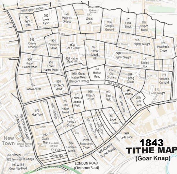
The 1843 Tithe Map overlaid onto a modern map of the area.
Gallery
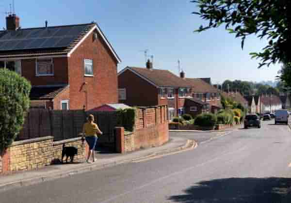
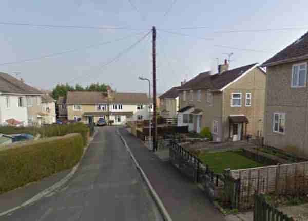
Houses in Rosebery Avenue and the entrance to Derwent Gardens. This would earlier have been the southern edge of Sydling's Mead.
The eastern cul-de-sac of Mayfield Road was built on the former Sydling's Mead.